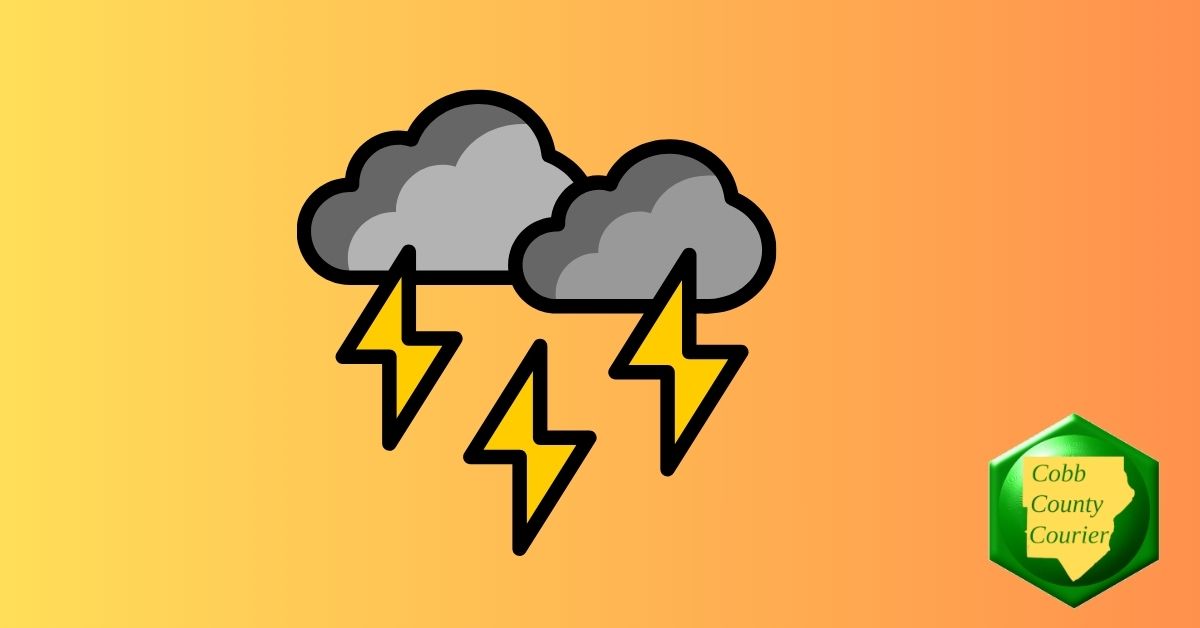
Scattered thunderstorms are expected across north and central Georgia today, with a risk of a few severe storms in central Georgia this afternoon capable of producing damaging winds, large hail, or even a brief tornado, followed by dangerously cold wind chills early Monday. The National Weather Service issued a hazardous weather outlook for north and central Georgia for Saturday, February 21. Bonus for the more weather-curious among you … To read an article about interpreting a weather news report with some of the typical terminology defined, follow this link . What is in the statement? The statement gives the following details: This Hazardous Weather Outlook is for north and central Georgia. .DAY ONE…Today and Tonight… Scattered thunderstorms will occur in north and central Georgiatoday. A couple of severe thunderstorms are possible in centralGeorgia between noon and 6 PM. Damaging wind gusts are the mainconcern, but large hail or a spin up tornado are also possible. .DAYS TWO THROUGH SEVEN…Sunday through Friday… Breezy winds and cold temperatures will lead to wind chills in the10 to 20 degree range Monday morning. What counties are affected? The following counties are included in the hazardous weather outlook: Baldwin, Banks, Barrow, Bartow, Bibb, Bleckley, Butts
Read More
Saturday, July 4, 2026
Saturday, July 4, 2026
Georgia Weather Alert: Scattered Thunderstorms and Isolated Severe Storms Expected

ADVERTISEMENT
- Trending
- Comments
- Latest


We bring you the best news, updates, reviews, and events coverage surrounding the worlds top Social Network Companies.