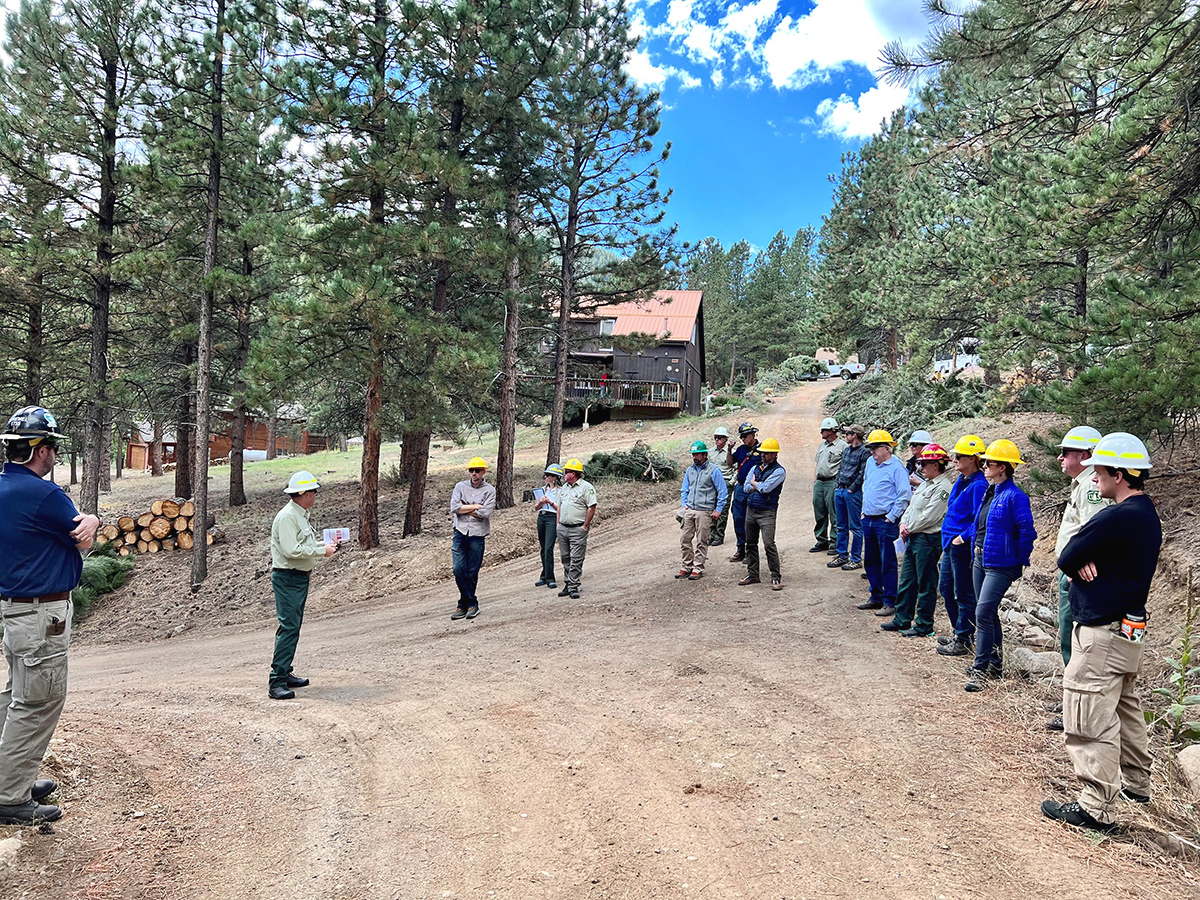
Jamestown Mitigation Project Vimeo.mp4 from The Watershed Center on Vimeo. America’s western forests are at risk. We are losing natural treasures to increasingly severe and frequent wildfires. These fires rage through overgrown, dense forests, fueled by drought, wind and terrain. And they threaten nearby towns and cities that rely on these forests for water and recreational opportunities. To confront this crisis, the USDA Forest Service is working in high-risk landscapes across the western United States. The Colorado Front Range is one of these high-risk areas. The Front Range Landscape includes 3.6 million acres in multiple jurisdictions and includes private and public lands. Much of this area has already been impacted by severe megafires including: the 2002 Hayman Fire (138,114 acres) west of Colorado Springs, the 2012 High Park Fire (87,284 acres) and 2020 Cameron Peak Fire (208,663 acres) west of Fort Collins. Firefighters burned 307 acres on the Forsythe II prescribed burn west of Gross Reservoir in Boulder County in April 2023. It marked the first time in more than 20 years that the Forest Service had conducted a broadcast prescribed fire in the county. Despite smoke behind the Flatirons being visible to millions of residents along the Front Range
Read More
Sunday, May 10, 2026
Sunday, May 10, 2026
Communities coalescing | US Forest Service

ADVERTISEMENT
- Trending
- Comments
- Latest


We bring you the best news, updates, reviews, and events coverage surrounding the worlds top Social Network Companies.